• Core Cut

    Click the image to learn more about the Earth's magnetic field!

  • WMM2020 Released

    The latest World Magnetic Model (WMM2020) was released December 10, 2019. 

    The World Magnetic Model is the standard model for navigation, attitude and heading referencing systems using the geomagnetic field. The model, associated software, and documentation are distributed by NCEI on behalf of NGA. The model is produced at 5-year intervals, with the current model expiring on December 31, 2024.

  • Geomagnetism Story Map

    The CIRES geomagnetism team worked with the NCEI story map team to create an ArcGIS story map that takes users through all of the components of the Earth's magnetic field. Learn more about the magnetic field HERE

  • Geomagnetism XKCD

    The Earth's magnetic field changes over time, sometimes in ways we do not expect when we compile and release the model. That is why the geomagnetism team is updating the World Magnetic Model, so users can continue to navigate safely without noticing any performance issues. Credit XKCD

  • Crowdmag

    Use your phone as a magnetic sensor! Here is an opportunity for you to be a part of our research on the geomagnetic field. Install CrowdMag app and share your magnetic data. You can also view maps and graphs shared by other citizen scientists.

  • HDGM-RT

    The Real-Time add-on to the High Definition Geomagnetic Model (HDGM-RT) includes a model of Earth's magnetosphere which provides near real-time estimates of the external disturbance field due to the solar wind.  More Information


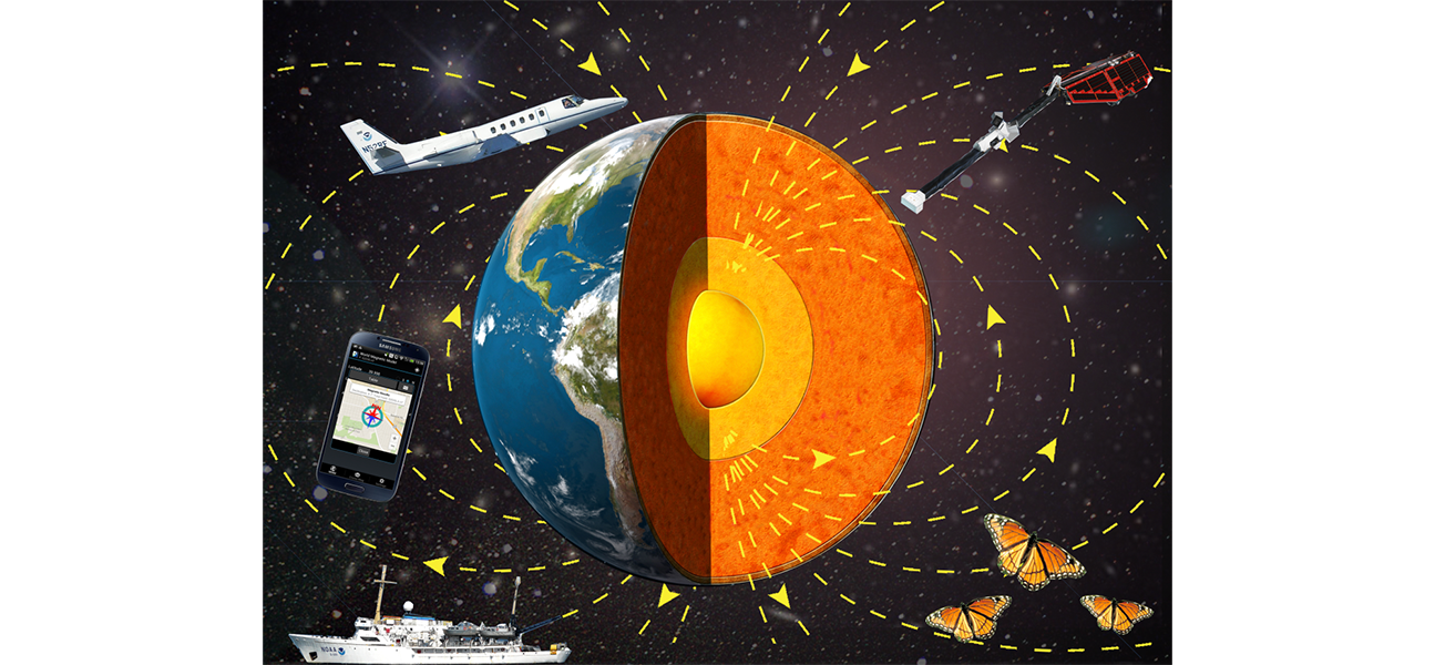
The CIRES/NCEI geomagnetism team conducts basic and applied research in the field of Earth magnetism. We develop data-based models and calculators of the various magnetic fields originating within the Earth (in the core, mantle, lithosphere and oceans) and in the near-Earth space environment (in the ionized layers of the atmosphere and the magnetosphere). Such models have a wide range of scientific and technical uses, from investigating physical processes associated to a particular source, for example core flows, to providing accurate headings for aircraft navigation and directional drilling. The group is based out of NOAA's Boulder campus and is primarily funded by the NOAA National Centers for Environmental Information (NCEI) through an agreement with the National Geospatial-Intelligence Agency (NGA).

A companion website provides access to official NOAA data products, models and online calculators. This website is focused on the research activity of our group and includes, for example, research models that have not (yet) been transitioned to operations, publications, and cloud-based calculators. Both sites include various outreach and educational resources in the field of geomagnetism. Feel free to explore and contact us if you have any questions!