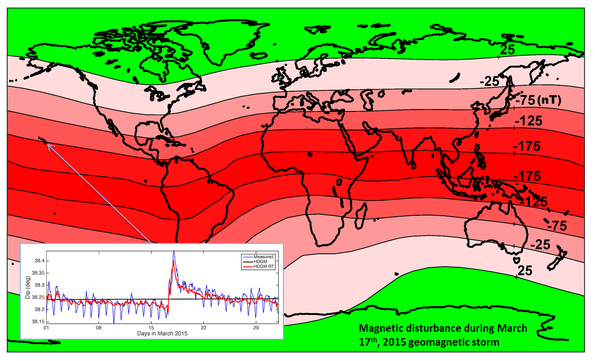
HDGM2020 and HDGM2020-RT
DIFI-5 IONOSPHERE MAGNETIC FIELD MODEL
HDGM2021 and HDGM2021-RT
Real Time Disturbance Field Calculator
DIFI-6 IONOSPHERIC MAGNETIC FIELD MODEL
1994
Maus, S., Pohl, J., Soffel, H., & Saradeth, S., Interpretation of an aerogeophysical survey (gamma ray spectrometry, electromagnetics and magnetics) in the KTB area, KTB-Report, 93-2, 317-318, 1993.
(PDF)
1994
Maus, S., & Dimri, V.P., Scaling properties of potential fields due to scaling sources, Geophys. Res. Lett., 21, 891-894, doi: 10.1029/94GL00771, 1994.
1995
Maus, S., Potential field power spectrum inversion for scaling geology, PhD-Thesis, Osmania University, Hyderabad, doi: 10.1029/95JB00758, 1995.
Maus, S., & Dimri, V.P., Basin depth estimation using scaling properties of potential fields, J. Assoc. Expl. Geophys., 16, 131-139, 1995.
(PDF)
1996
Maus, S., Scaling statistical analysis of magnetic and gravity data, SEG 66th Ann. Internat. Mtg., Expanded Abstracts, 2, 1419-1422, 1996.
(PDF)
Maus, S., Dimri, V.P., Depth estimation from the scaling power spectrum of potential fields, Geophys. J. Int., 124, 113-120, doi: 10.1111/j.1365-246X.1996.tb06356.x, 1996.
